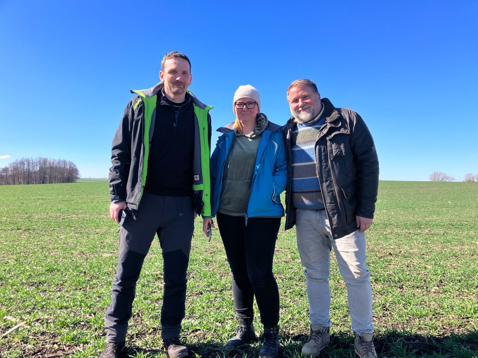
Archaeologists from Poland and the Czech Republic are studying prehistoric ritual sites
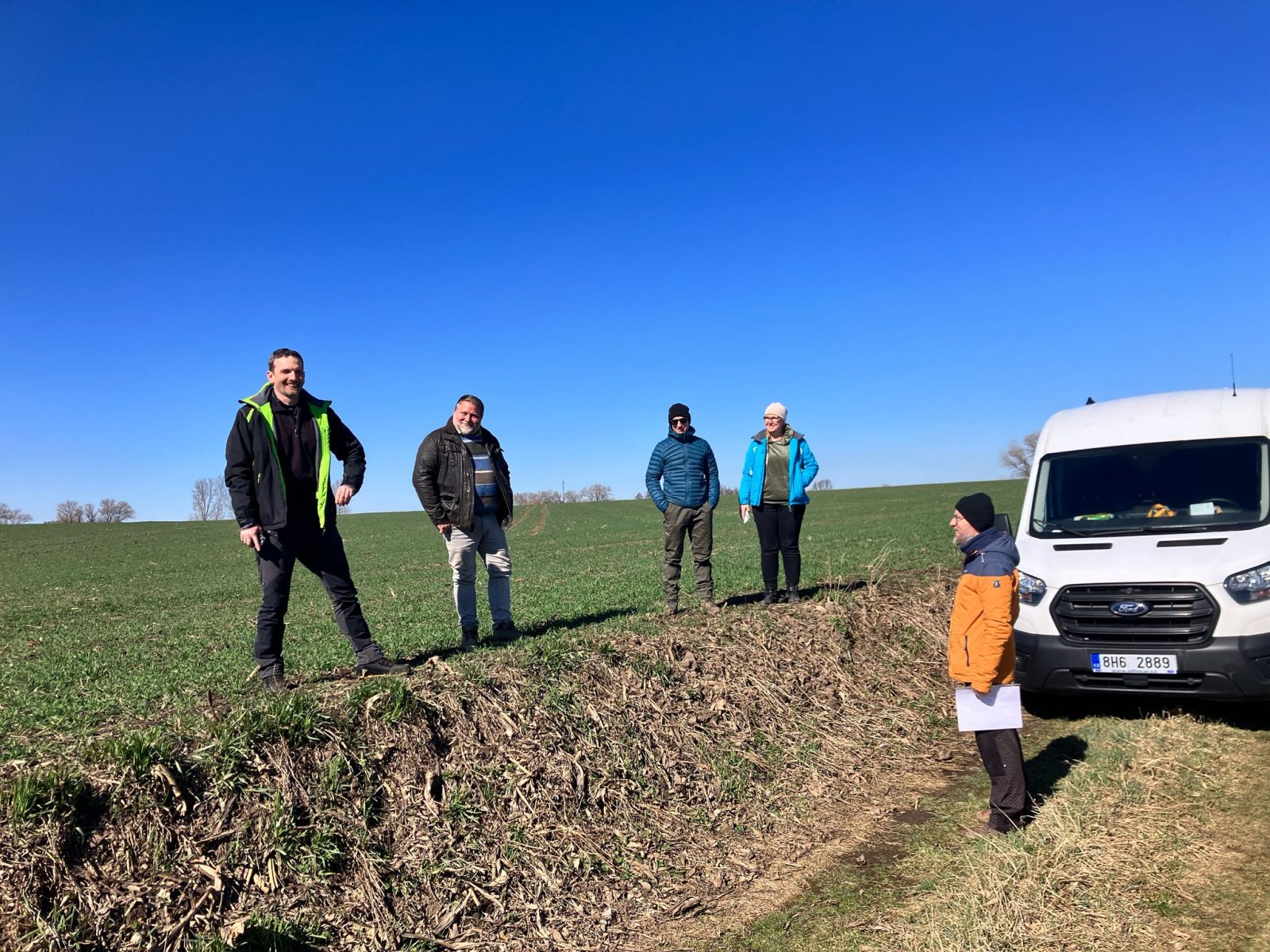
With the help of modern remote sensing tools such as aerial photography, geophysical surveys, and airborne laser scanning, scientists will be mapping archaeological sites. The head of the Polish part of the project Long-term land use dynamics within the areas of prehistoric ritual places, carried out by the Institute of Archaeology at the University of Wrocław in collaboration with the Universities of Pilsen, Hradec Králové, and Prague will be dr Agnieszka Przybył, who specialises in research on the Neolithic period.
The research project is funded under the Weave-UNISONO grant for bilateral collaboration between teams from the Czech Republic and Poland, supporting international cooperation within the NCN competition as part of multilateral actions (LAP).
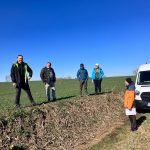
Dr Agnieszka Przybył focuses on late Neolithic Funnelbeaker culture communities, named after the characteristic shape of their ceramics. Members of these communities built monumental earthen tombs, sometimes referred to as Polish pyramids. – I have been conducting field research in the Henryków area for many years, specifically in the Muszkowice Forest – explains dr Agnieszka Przybył. – It is a unique site where, in 2012, using what was then an innovative method of airborne laser scanning, I documented an unprecedented burial complex (16 sites) of megalithic tombs.
Previously, only one such site was known in Dolny Śląsk — Muszkowice 18. Research on this site began in 2000, led by the late dr Piotr Cholewa under the scientific supervision of the late prof. Włodzimierz Wojciechowski. In addition to these Neolithic giants, the forest area also contains cemeteries with round barrows, some of which date back to the early Middle Ages.
– I also observed the coexistence of long Neolithic objects and early medieval fossil mounds on several sites – says the archaeologist. – I also have other reasons for the long use of these cemeteries by communities from different times and with different origins.
The project, carried out in collaboration with Czech archaeologists, aims to identify the long-term use of ritual sites and examine whether this use changed over time or whether the sacralisation of these places remained permanent.
Ritual sites were an integral and significant part of the prehistoric landscape. Relics of various sacred structures built by Neolithic populations can still be found today in the form of burial sites and so-called Neolithic circular enclosures. Over time, defensive features such as settlement ditches, long earthen tombs, and circular burial mounds emerged. For centuries, these monuments symbolically shaped the landscape.
Scientists will seek answers to many questions. How did communities living hundreds or even thousands of years later perceive these sites? How did people use the ritual places of their ancestors? Did these locations preserve their spiritual significance, or were they included in the profane realm of settlements, gradually covered by residential and economic structures?
The awareness of the ritual purpose of these spaces was undoubtedly transmitted in oral tradition. However, it was also strongly reinforced by the presence of distinctive above-ground structures. The existence of fortified structures and burial mounds contributed to maintaining the ritual significance of these sites for many generations.
In some parts of Europe, monuments of this type have survived in the landscape to this day. Their existence was likely known to all previous generations. In the present-day Czech Republic, however, these monuments are no longer visible in the landscape. We can only speculate about when they disappeared from the surface and how long they influenced the sacred perception of these places.
The aim of the project is to investigate the development and perception of Neolithic and Eneolithic ritual sites across subsequent generations.
By employing modern archaeological and environmental methods such as geochemical and micromorphological analyses of soils and sediments, researchers examine the dynamics of the disappearance of monumental structures. They also explore changes in how prehistoric populations perceived the landscape over time. Through this research, scholars contribute to an important discussion on the evolution and perception of prehistoric ritual and cultural landscapes, both in the past and in contemporary times.
The project focuses on three geographical areas.
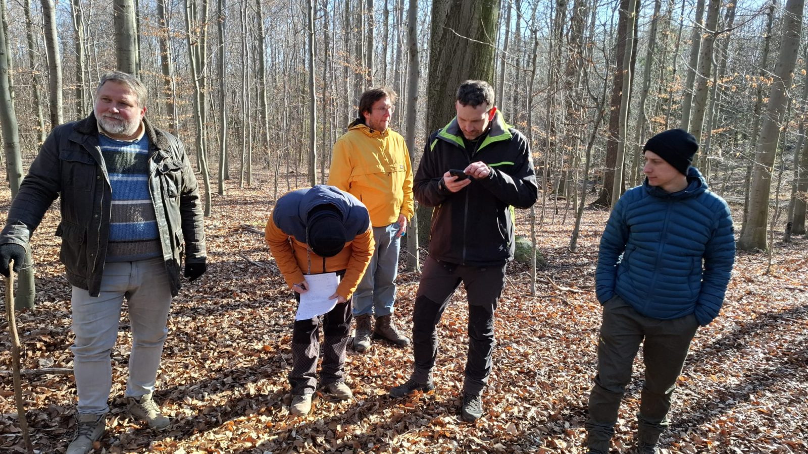
In the Czech Republic, researchers concentrate on two regions that share a common feature: their current use as agricultural land. In these areas, archaeological monuments are almost entirely invisible in the landscape. However, the selected regions differ in their documented archaeological heritage. Both areas contain evidence of Neolithic and Eneolithic ritual activity, including long earthen burial mounds, circular barrows, rondels, and fortified settlements. The first region is located between the villages of Straškov and Dušníky, in the area surrounding Mount Říp. The second region is situated near the village of Chleby, in the Nymburk region.
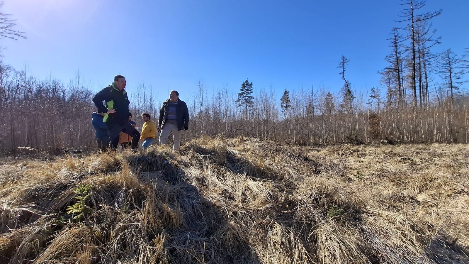
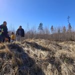
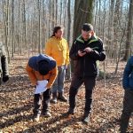
The third region is a forested area near the Polish village of Muszkowice, where researchers have discovered the remains of monumental Neolithic tombs, as well as relics of later cemeteries that have remained clearly visible in the landscape to this day.
This distinct survival of prehistoric remains, unlike in the previous regions, may serve as an important element for comparing ways of perceiving the landscape. It allows for a comparison of three contrasting regions: one where the tradition of ritual sites is long-standing, yet no visible traces remain; another where a significant change in land use likely occurred already in prehistoric times; and the last, an area with a long-term ritual function, where its traces have remained intact to this day.
The project integrates archaeological and environmental methods. This approach will enable a comprehensive understanding of landscape development dynamics from the Neolithic period to the present.
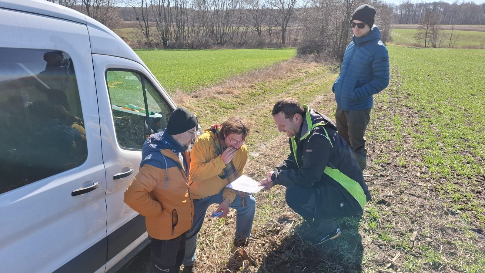
Modern remote sensing tools, such as aerial photography, geophysical surveys, and airborne laser scanning, will be used to map archaeological sites.
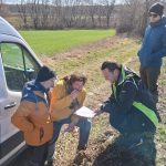
Based on this, large sectors will be selected, from which soil samples will be collected and subjected to geochemical analysis to determine the type and intensity of activities of ancient populations. The analysis of soil horizons development will help reconstruct the past vegetation character in the landscape. Pollen analysis and analysis of macroplant remains conducted in selected locations will also be used. OSL dating of sediments and radiocarbon dating of organic remains will be performed, alongside a comparison of sediment grain size and analysis of coprophilous fungal remains.
Another key issue is the dynamics of the destruction of monumental cult structures. Researchers aim to understand the natural processes of ditch infilling and barrow erosion. This degradation may have been extremely slow, allowing these structures to remain visible in the landscape for millennia. To verify these hypotheses, they plan to conduct limited excavations in a selected area. Beyond natural degradation, scientists will also investigate evidence of possible intentional destruction of these sites.
Translated by Valiantsina Trafimuk (student of English Studies at the University of Wrocław) as part of the translation practice.
Complied by Katarzyna Górowicz-Maćkiewicz
Date of publication: 24.03.2025
Added by: M.J.

