How the Earth changes
The continents – what they are, we see on maps. And how do geologists see them? As constantly changing and shifting areas.
Our scientists in the Department of Physical Geology are taking part in a research project that will give us a better understanding of the mechanisms of continental growth.
North America, South America, Europe, Asia, Africa, Australia, Antarctica – when we imagine the Earth, we clearly see the outlines of these seven continents that make our planet unique in the Solar System. At the same time, we realise that the Earth’s crust has not always looked like this.
Continents are constantly moving and changing their shapes. In the past, the lands of today’s North America and Greenland were part of the continent Laurentia, and today’s northern Europe was part of the continent Baltica. They were separated by the waters of the Iapetus ocean. According to scientists, this changed during the Silurian – a geological period that began around 443 million years ago and lasted for more than 20 million years. Around that time, the two continents collided. Subduction occurred – a process that occurs at the contact of lithospheric plates and involves the pulling of one lithospheric plate under another. Although this process is very slow, when the tensions become too strong, a sudden release of energy can occur, resulting in an earthquake. The rock material piling up as a result of the collision can subsequently lead to the formation of mountain chains like the Scandinavian Mountains, geological structures the shapes of which can still be seen in present-day Europe.
Scientists from the AGH University of Science and Technology conducted research in the area. They found traces of subduction, and this was not surprising. However, instead of traces of a single subduction, the scientists actually found traces throughout the entire extent of the Scandinavian Caledonides that testify to several successive subduction stages.
– We began to wonder: why do we see traces of several stages everywhere? We came to the conclusion that perhaps the Iapetus ocean, which divided Baltica and Laurentia at the time, did not look at all like we imagine the Atlantic Ocean today. Maybe it looked more like we imagine the area between Australia and Asia? There we have a lot of islands associated with volcanism and island arcs formed in subduction zones,” says Dr Katarzyna Walczak of the AGH Department of Geology, Geophysics and Environmental Protection.
In order to see if the theory is right, the scientists decided to conduct a more detailed geological study of the regions of the prehistoric Iapetus ocean.
The project “How do continents grow? The Köli nappe complex in the Scandinavian Caledonides as a natural laboratory of continental accretion” received funding from the National Science Centre. Dr Katarzyna Walczak is its leader, and the team includes scientists from the Department of Mineralogy, Petrography and Geochemistry of the Faculty of Geology, Geophysics and Environmental Protection of the AGH University of Science and Technology and the Faculty of Earth and Environmental Sciences of the University of Wrocław..
– Our major interest is in magmatic rocks that record volcanic activity on islands and archipelagos in the Iapetus Ocean. In addition, of particular interest are older ones that could potentially originate from any of the surrounding continents and form the basis of microcontinents in this ocean. Their identification will allow us to say more about how subduction could have occurred in the Iapetus Ocean if it was then practically as old as the present-day Atlantic, says Dr Grzegorz Ziemniak of the Department of Physical Geology, Institute of Geological Sciences, Faculty of Earth and Environmental Sciences, UWr. – Even the first dating of magmatic rocks has delivered surprising results, which suggest that volcanic activity may have begun many millions of years earlier than previously thought.
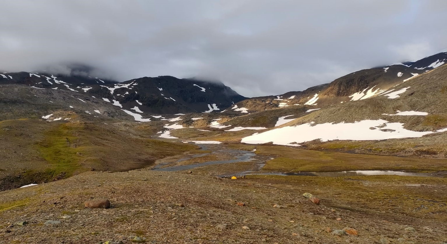
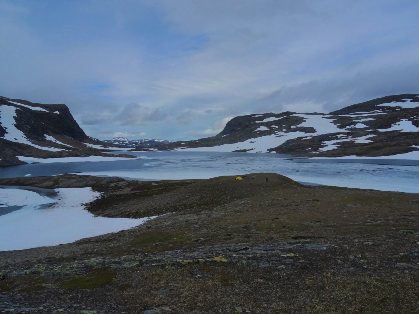
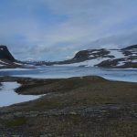
In the past field season, dr Grzegorz Ziemniak participated in an expedition together with his postgraduate student Szymon Dzikowski, who deals with the geochemistry and dating of granitoid rocks. This year’s expedition will have another two Institute of Geological Sciences (ING) UWr students on board to help scientists discover what the geological units located behind the Arctic Circle in the area around Akkajaure and Sulitjelma were and what their position was on Iapetus.
– First of all, we would like to determine in which environments these rocks that were accreted (i.e. attached) to the Baltici continent were formed, and during what period of time they were formed,” says dr Katarzyna Walczak, the project’s leader, about the main aims of the project. – One question that arose from the previous project is what this ocean looked like and what processes took place on it that led to the formation of this new continental crust. We are also interested in the very process of the formation of these arcs – whether they were related to subduction or whether they were some old continental fragments or microcontinents.
The Scandinavian Mountains, formed as a result of the collision between Laurentia and Baltici, have a similar genesis to the Himalayas and probably once resembled those currently highest mountains in appearance as well. Over millions of years, however, they have eroded away and are now much lower. For researchers, this is a significant convenience.
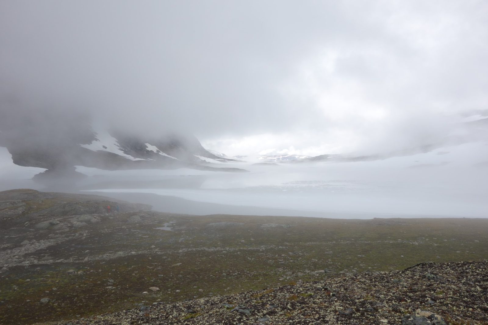
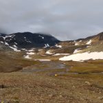
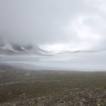
The expedition has to be prepared in detail. The area from which rocks can be sampled is huge and the number of samples that researchers will be able to collect is limited. The rocks sampled are characterised by their high density, so the collection of even small samples weighs hundreds of kilograms in total. In order to optimise their collection and make sure that as many of them as possible will prove useful in answering the questions posed, researchers already need to know exactly what they will be looking for and where before they go into the field.
The Polish scientists were assisted by employees of the Swedish Geological Service, who provided them with maps of the area drawn in the 1970s and 1980s and shared their experiences of working in the area.
The work of geologists resembles that of detectives – they try to reconstruct the course of processes based on the traces they discover. Even if they study processes occurring now, they cannot observe them directly, because they happen so slowly and on such a large scale that it is impossible to see them with the naked eye (for example, the continents are still moving by a few centimetres a year).
Because of the difficulties of research and the complexity of the issue, it is impossible to be sure how, step by step, the processes resulting in the current appearance of the Earth. However, there is a general agreement among scientists that, before any continents were formed, the globe was covered by an almost homogeneous ocean of magma, which then cooled forming the first crust. The embryos of the present-day continents emerged significantly later, when the process of crustal differentiation, or diversification of the crust, began to take place. In this process, acidic rocks began to emerge which, having a lower specific gravity, could “float” above the denser basaltic crust. In this way, the first embryos of continents were formed.
Source text: “Kontynenty wciąż rosną” https://www.agh.edu.pl/aktualnosci/detail/kontynenty-wciaz-rosna
Rev. Katarzyna Górowicz-Maćkiewicz
Photo: Grzegorz Ziemniak i Katarzyna Walczak
Translated by Kamil Sobierajski (student of English Studies at the University of Wrocław) as part of the translation practice.